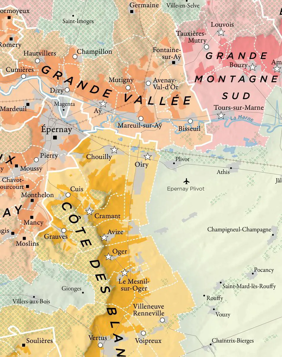
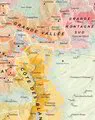
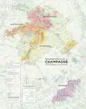

Champagne Map - Growing Areas
Add To Cart
Sold Out
Vineyard areas and villages of the major sub-regions - Montagne de Reims, Vallée de la Marne, Côte des Blancs and Côte des Bar - are all included in this large format map of the Champagne region.
This map forms part of the 'Mapping Champagne' series by Charles Curtis MW and Steve De Long, it's the first modern update and expansion of the pioneering work of Larmat, done in the 1940s. It has a downloadable PDF Index.
These are the most beautiful and up-to-date mapping resources available for the Champagne region.
Dimensions: 27 x 34 inches
Printing: Lithograph on 100# (150 gsm) matte coated paper
Publication Date: October 16, 2022