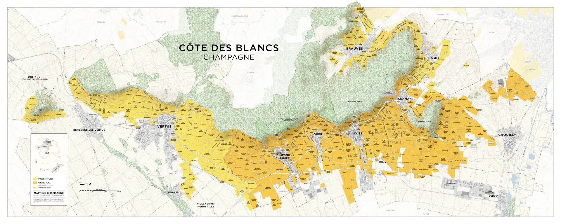
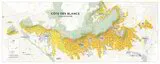
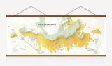
Champagne Map - Côte des Blancs
Add To Cart
Sold Out
This large format (nearly five foot wide) map is of the principal portion, or cuesta, of the Côte des Blancs.
These are the most beautiful and up-to-date mapping resources available for the Champagne region.
Dimensions: 59.0 x 23.625 inches, 150 x 60 cm
Printing: Lithograph on 100# (150 gsm) matte coated paper
Publication Date: October 16, 2022